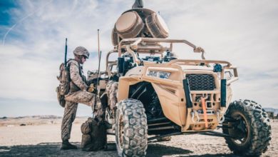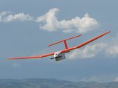
Diy Drone :
Utah State Universitys AggieAir Flying Circus is using UAVs to bring real-time mapping capabilities into a host of new fields. And if the FAA changes its rules on civilian UAVs, drones of all kinds could soon become widespread in American airspace.